 Taken from chinauniquetour.com
Location
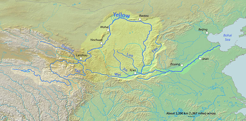
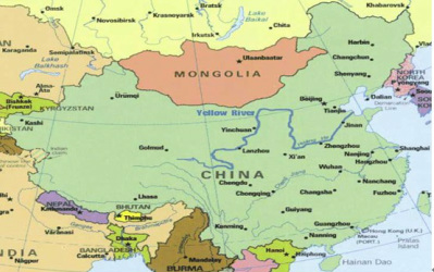
The Yellow River is found originating in the Bayankala Mountains in Qinghai Province in western China, it flows through nine provinces of China (Qinghai, Sichuan, Gansu, Ningxia, Inner Mongolia, Shaanxi, Shanxi, Henan, Shandong Provinces) and ends by emptying into the Bohai Sea. The Yellow River basin has an east-west extent of 1900 km (1,180 miles) and a north-south extent of 1100 km (684 miles). The total basin area is 752,443 km^2.
Geography
The upper reaches of the river sweeps through swamps, pastures and knolls between the Bayan Har Mountains. The river water flows calm and steady. The middle reaches flow through the Loess Plateau and substantial erosion can be observed. The mud and sand deposited in the stream make the Yellow River the most sediment-laden river in the world. It then flows through valleys before reaching the lower reaches, from ZhenZhong, Henan to its mouth. It flows northeast across the North China Plain before finding its destination in the Bohai Sea. The river bed is increased as sediments are deposited in the river. The middle reaches are the most affected and lower reaches contain less.http://www.hydrology.nl/images/docs/alg/2012.11_Climate_change_Yellow_River.pdf